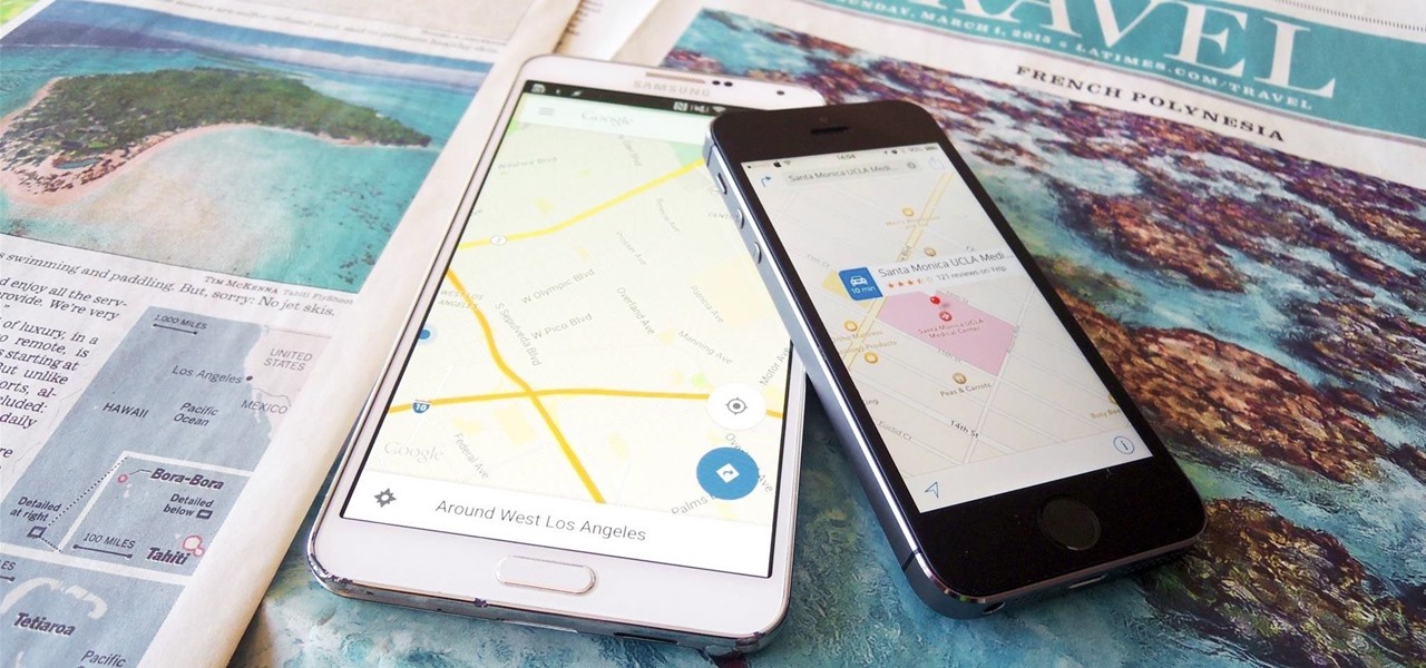
Google's "Go" line of apps are lightweight counterparts designed to be limited speedy alternatives to their full-featured sibling apps. There is a Go version of Photos, Search, Maps, and more — but are they the right apps for you?
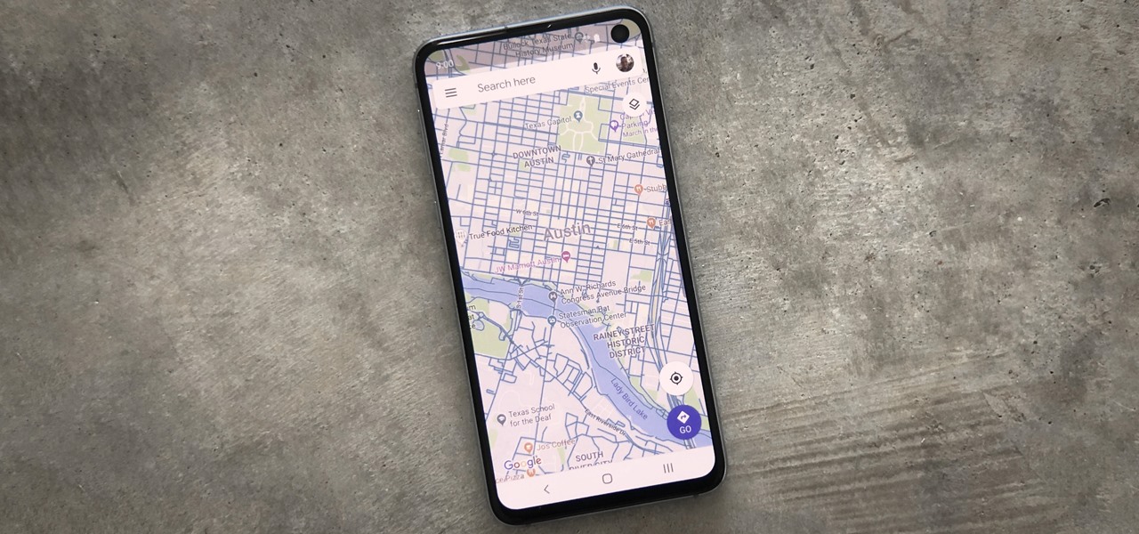
When you're going somewhere for the first time, it's nice to know what the destination will look like. Street View in Google Maps is the perfect tool for that, though it's always been a little awkward to access. But now, Google added a new overlay that will put Street View content literally one tap away at all times.
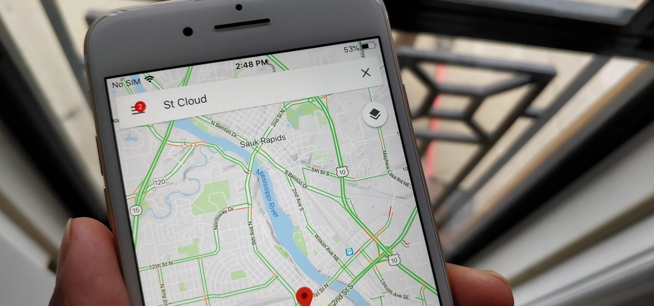
With over 1 billion downloads on the Play Store alone, Google Maps has become a staple for those traveling. Its popularity is the result of Google consistently improving its accuracy and adding new functionality. And this was only achieved with help of you — specifically, your data.
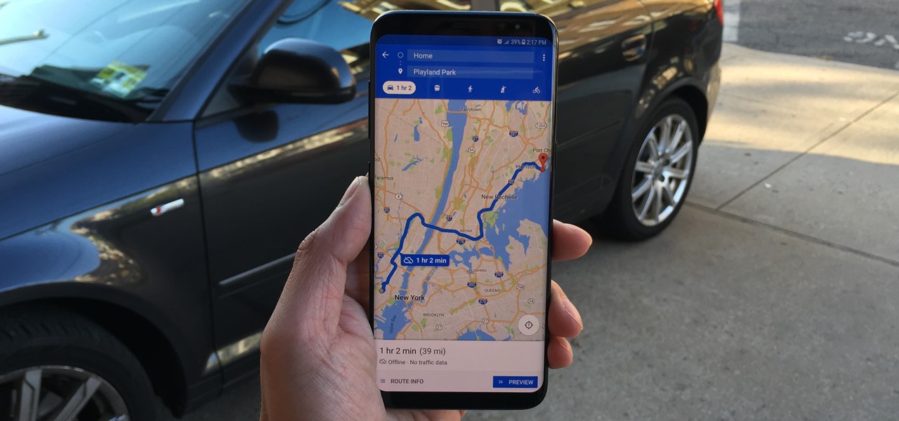
Spotty cellular reception is a fact of life that we all have to deal with, especially when you're traveling. For those of us who rely on our smartphones for navigation, driving through areas with bad mobile data service can be a cause for major headaches.
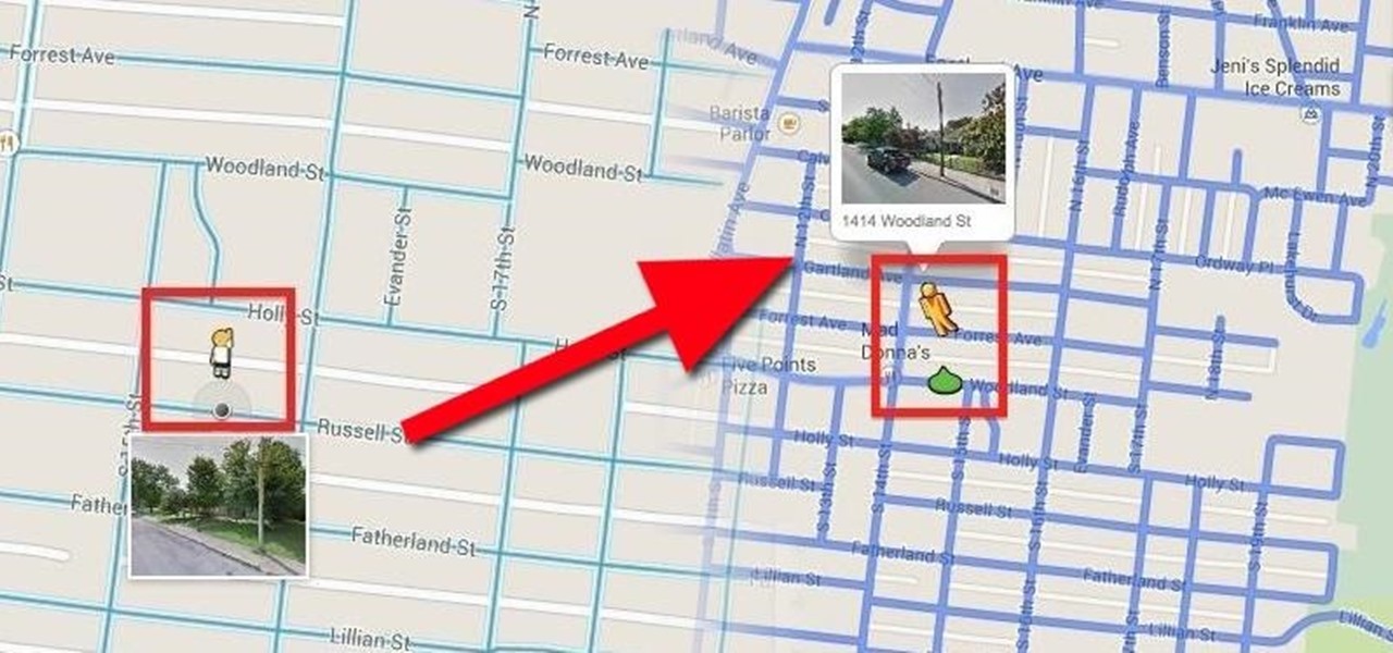
When the Google Maps web app got a massive redesign earlier this year, I was pretty excited to try it out, but it was a fairly disappointing update for me. The slower load times, confusing street view, and bicyclist neglect are just a few of the reasons I don't enjoy it over the old classic Google Maps. The brand new drag-and-drop measuring tool released this week is actually pretty useful, but not enough to change my mind.
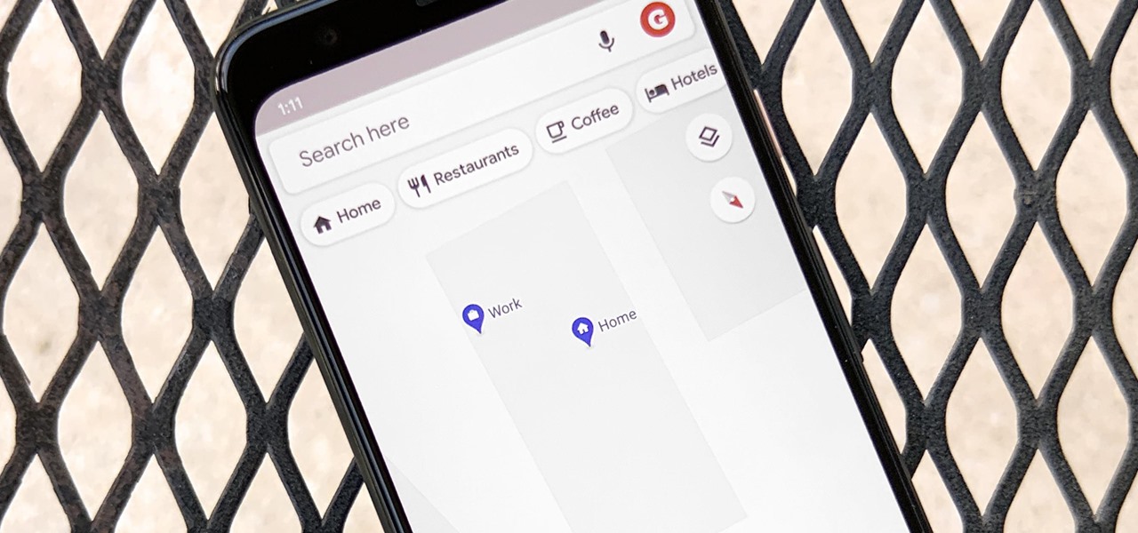
Google Maps lets you set home and work locations for quick access to navigation. In fact, these two locations are so central to the Maps experience that if you don't have both saved, the app can be a little naggy about it. But if you work from home, there's just one address to use, so what are you supposed to do?

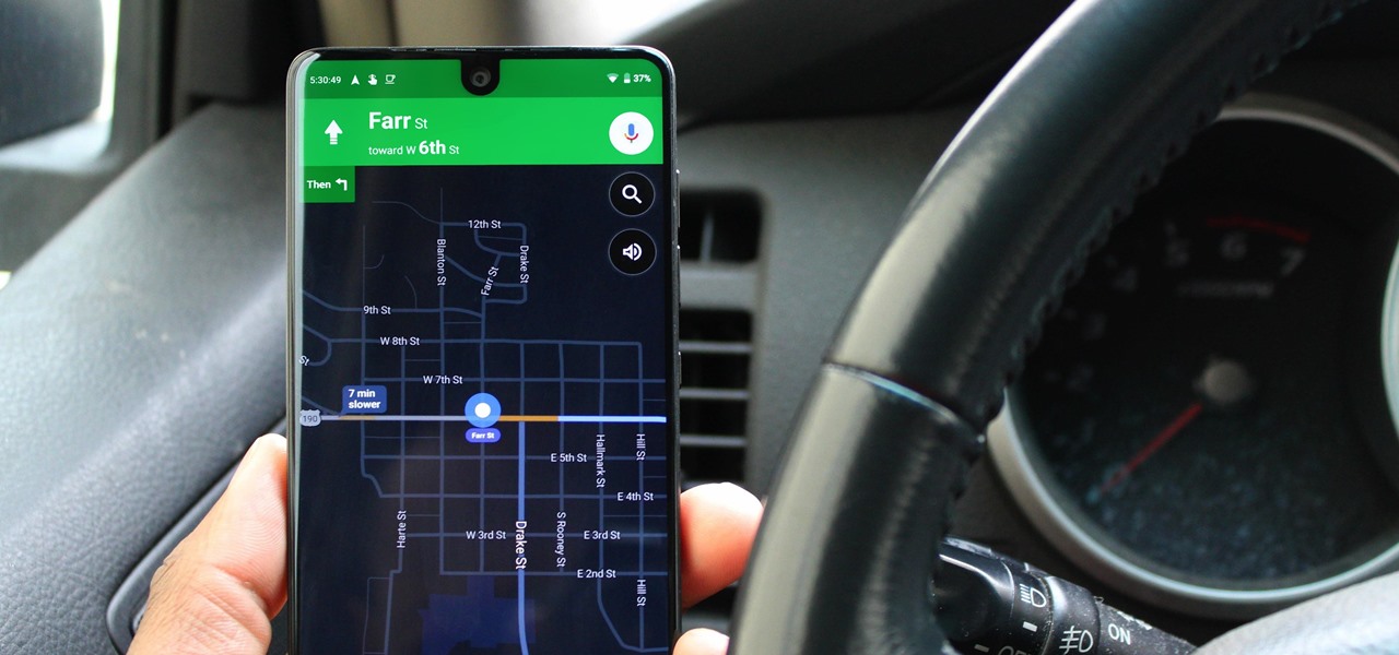
Dark mode is one of the most requested features these days, but it's even more important with a navigation app. If you're using Google Maps for directions while driving at night, the default white background will shock your eyes and make it harder to see the road in front of you. Thankfully, you can now enable a dark theme to make this whole process a lot safer.

Before heading out on a hike, or any excursion for that matter, it would be wise to take a map with you just in case you get lost while on your quest.

In about 27% of all car crashes, someone was using their cell phone. You may think texting is the big problem here, but many fail to realize that even the smallest smartphone interaction could spell disaster. Thankfully, Google Maps has rolled out an overdue feature that'll help ensure a safer drive.

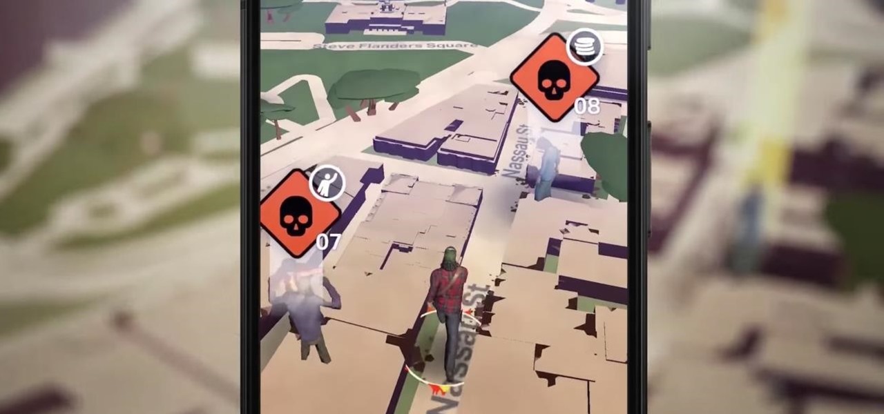
Ever since the announcement of The Walking Dead: Our World game last fall, publisher AMC and developer Next Games have been quiet about the title. Almost too quiet.

Trendy restaurants are fun, but waiting in line isn't. Too often, we arrive at a location to find a queue between us and our dinner. If only we could know when wait times were down so we could go out at the optimal time.

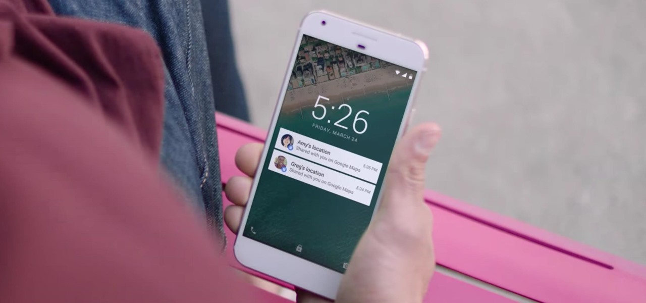
Life is all about spending time together with loved ones, experiencing new places together to enjoy and create memorable moments. Luckily, Google has made it easier for us to rendezvous with friends and family at specific places by letting us broadcast our locations using Google Maps.

Google Maps now allows users to share their location in real time and update their friends and family on their location and estimated time of arrival when making a trip.

Google Maps, once considered superior to Apple Maps, has contributed to a terrible mistake for one woman. A group of demolition workers in Texas were using the service to find a worksite, and to the dismay of homeowner Lindsay Diaz, Google was entirely inaccurate.

Applications like Apple Maps, Google Maps, and Waze save every location you visit or search for as a way to speed up future searches and to find commonly-frequented places. But what if you go somewhere unsavory and don't want anyone knowing?

With Google Maps, we can fly from Los Angeles to Tokyo to Paris and New York—all in a matter of seconds. We can zoom in with relative ease and flock around the city of our choice, checking out restaurants, historical landmarks, traffic and scuba divers. Easily the most recognizable and iconic part of Google Maps are the markers that signify all of these locations and point of interests. The iconic markers have already spurred artists to create Google Map inspired art pieces—with one such arti...

Location services company Mapbox has added new capabilities to its location-based gaming tool to fend off Google's challenge for the same mobile app category.

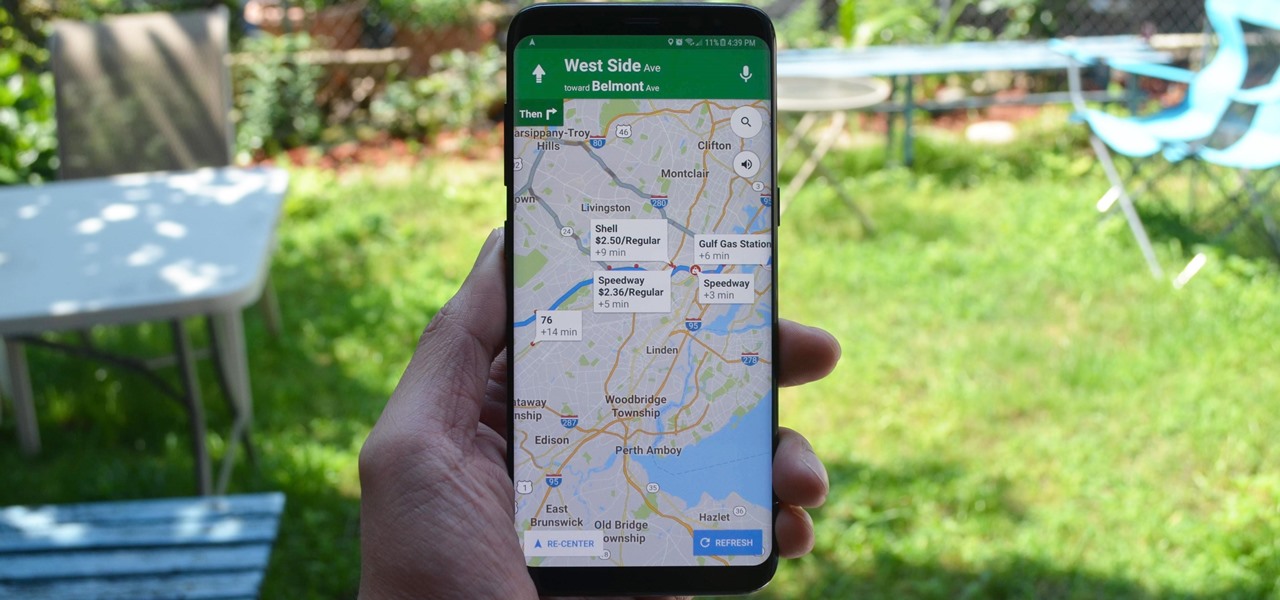
More often than not, road trips will include unforeseen pit stops that have to be made, no matter how well prepared you are. In the past, making an unscheduled stop may have led to headaches and delays when your navigation app got off track, but thanks to a feature in Google Maps, this is no longer an issue.

Okay, I have a confession to make. I'm not a real New Yorker. I'm from the land of southern hospitality and steaks bigger than your newborn: Texas. I don't know how to hail a taxi yet, and I still smile at strangers on the street. I'm slowly learning how to fit in, but one thing I still haven't mastered is the New York City subway system. Every day, I struggle to determine where to find my train and how to stand on it without falling over. Fortunately, Google Maps appears to be making some of...

For those of you still waiting for the new iPhone 5, you may be a little annoyed when you start using the new Maps application. If you're one of the many Apple users that has already updated your current iPhone to iOS 6, then you're probably already missing Google Maps. While the new Maps does have turn-by-turn directions and sweet 3D imaging for a few large cities, it misses out on everything that made Google Maps legit. Public transit routes—gone. Street-view—missing. High-res imaging of sm...

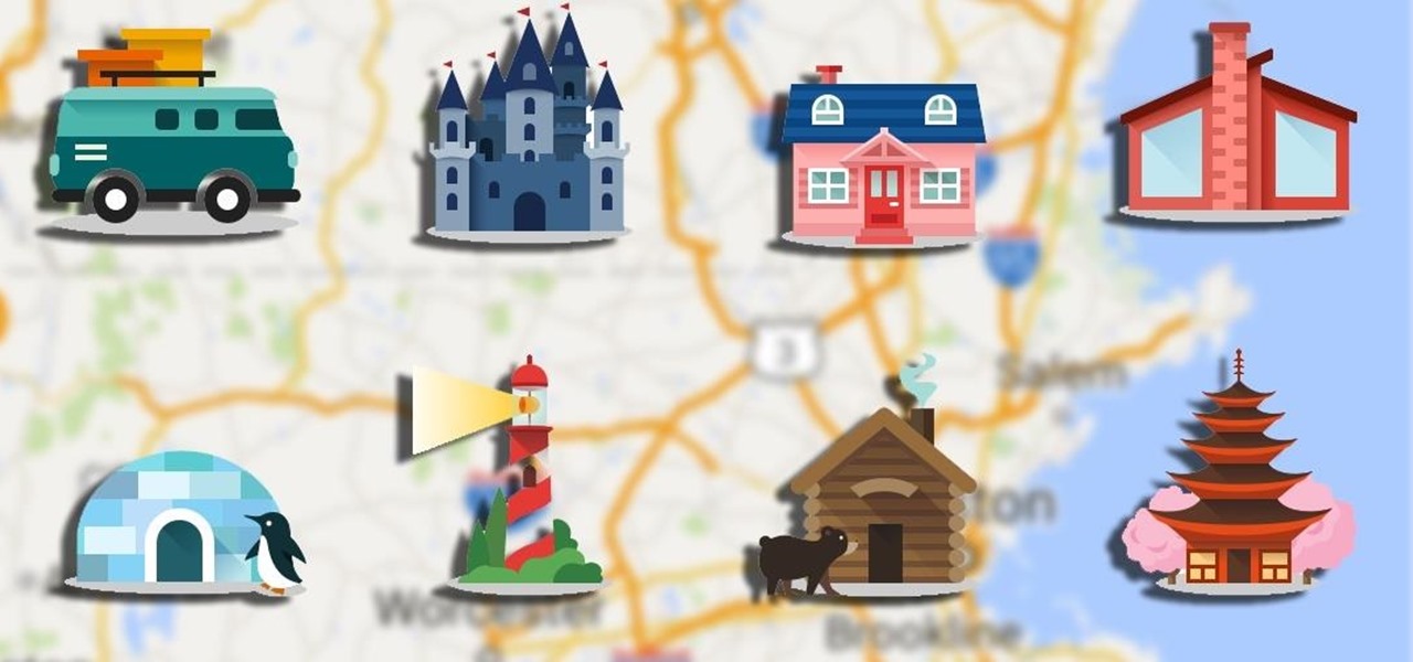
If you're using an up-to-date version of Google Maps on your Android device, there's a little-known feature you can use to apply stickers to saved places, making them visually easier to find while you're looking at the map.

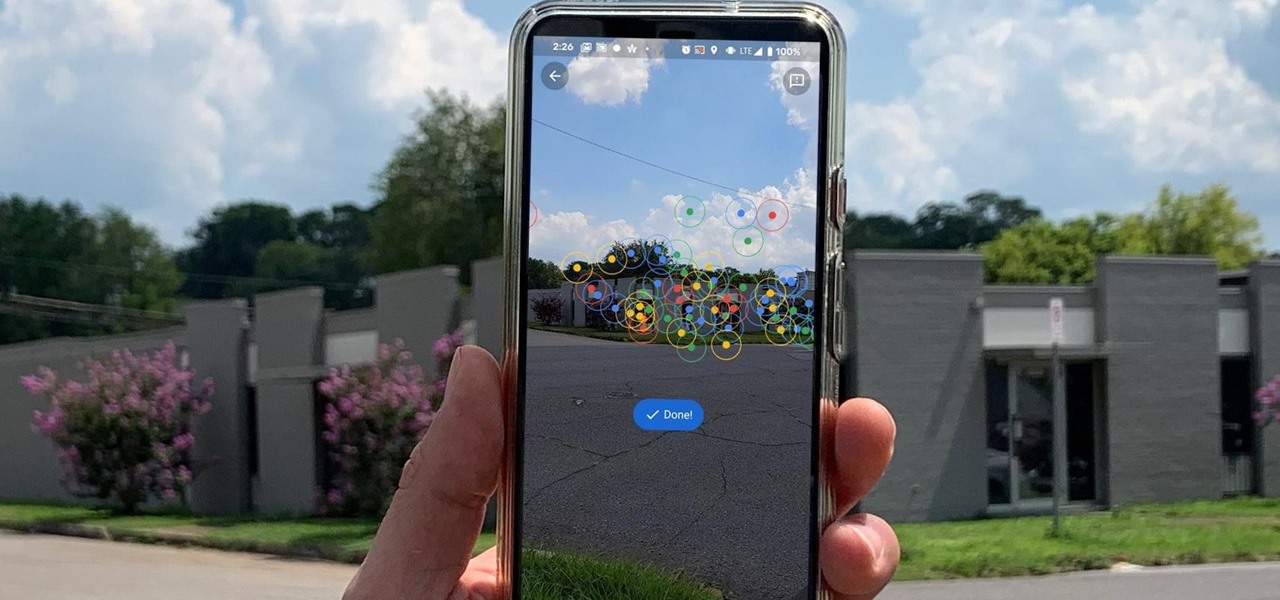
As helpful as it is, Google Maps isn't the only mapping app with augmented reality walking navigation anymore.

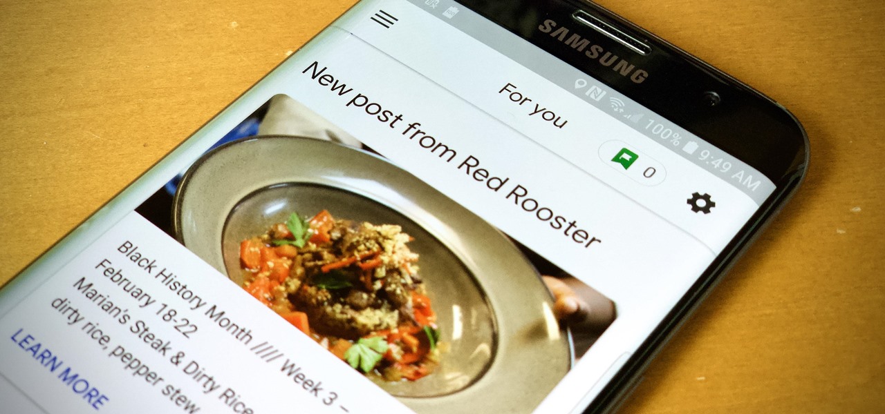
When you need to know how to get somewhere, Google Maps is the app to beat, but the king of navigation doesn't want to stop there. Google aims to make its navigation app for more than just directions, as made clear by its recent feature that lets you follow businesses in the app. Combining timely news and events posted by local businesses with real-time transit seems like the perfect match.

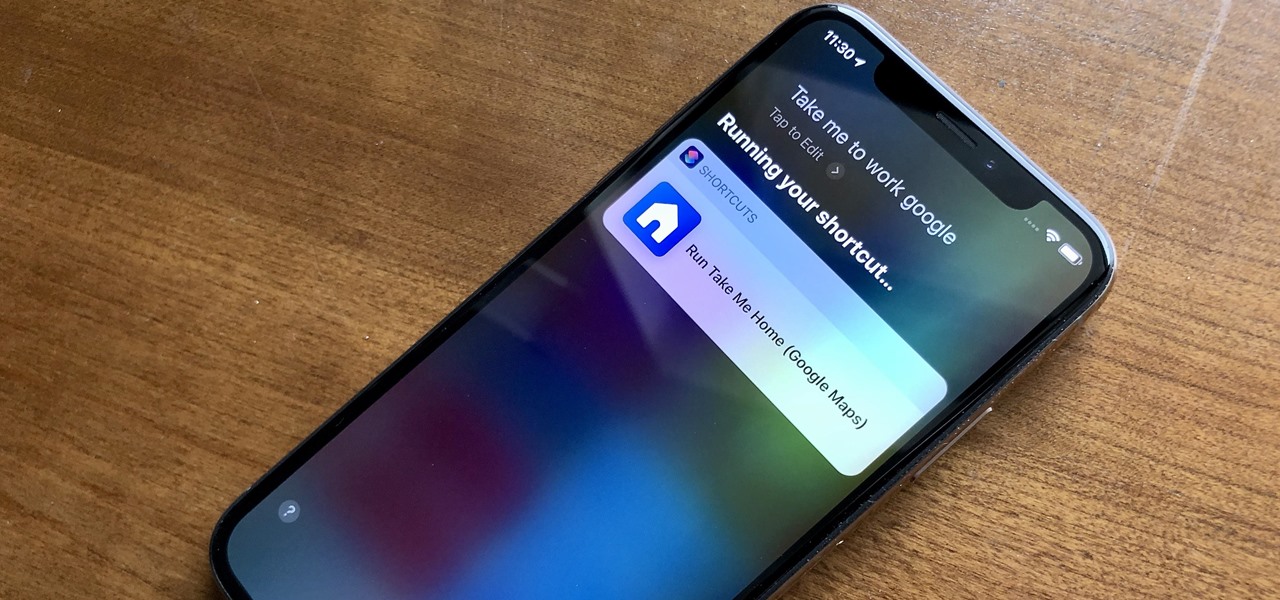
When driving, you can get directions hands-free by asking Siri. You can also make general map searches, show a location's details, call a query's phone number, and view traffic details. However, Siri defaults to Apple Maps for all those. If you prefer Google Maps, Waze, or another third-party navigation app, the map-based Siri commands won't work. But that doesn't mean you can't still use Siri.

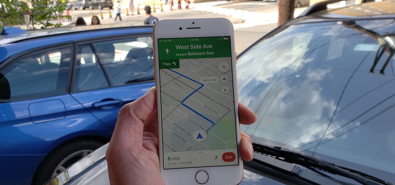
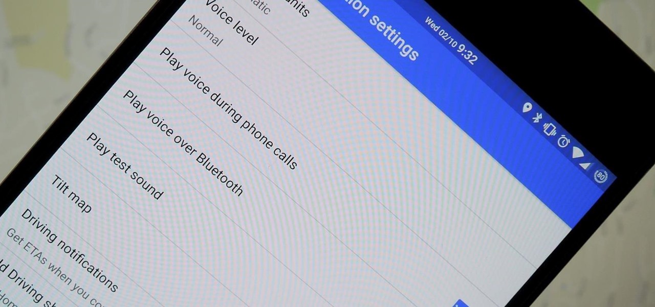
Before starting any drive where you're using Google Maps for directions, it's vital to make sure the app is functioning correctly, specifically, navigation prompts. After initiating turn-by-turn directions on your Android or iPhone, the last thing you want to worry about is Google Maps not audibly telling you where or when to turn, especially in an unfamiliar area.

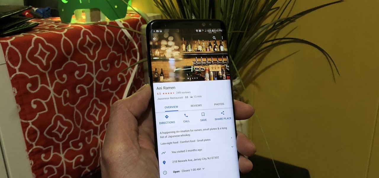
Going out to dinner on a Saturday night can be more trouble than it's worth when you find yourself waiting for hours on end just to be seated. Thankfully, Google Maps has some very useful data that can save you from a headache the next time you head out to your favorite restaurant.

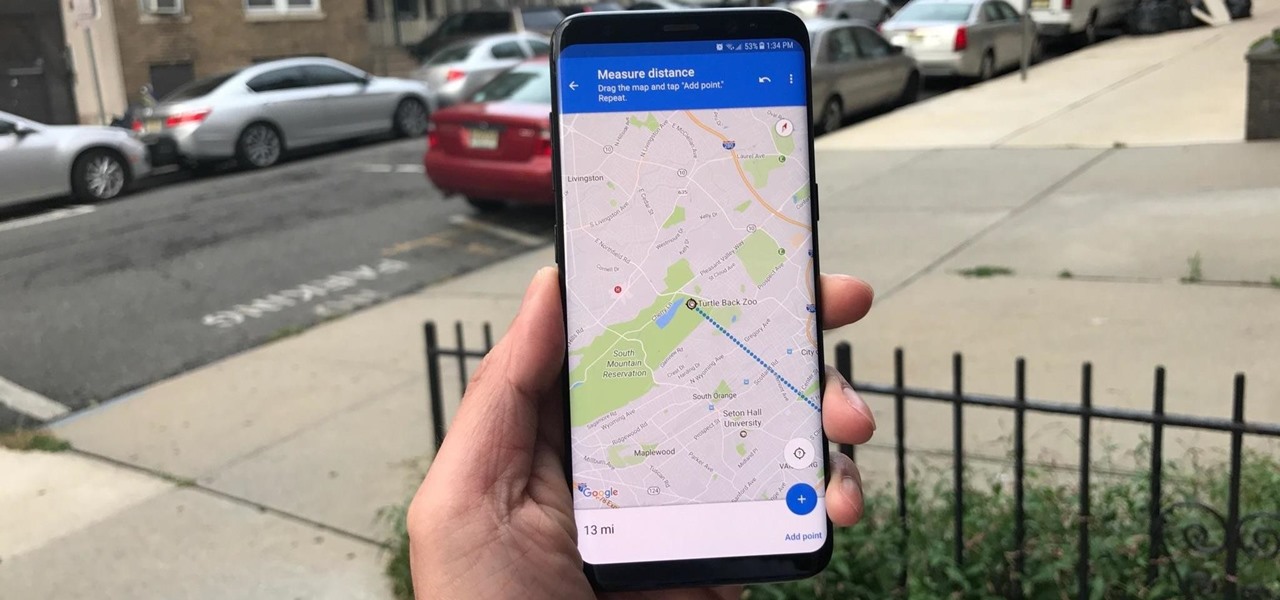
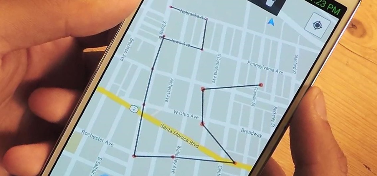
If you want to find out the linear distance between your hotel and a landmark or restaurant you want to visit, Google Maps has a great feature that lets you quickly measure the distance between two or more points. It's perfect for getting an idea of how far places are in relation to each other, which can help you plan trips more efficiently.

On a recent trip to Palm Springs, I found myself navigating with Google Maps and virtually exploring my destiniation using its built-in Street View feature. The thing is, using Street View can make keeping track of your exact location difficult as you zoom in, out, and about. It's a little discombobulating.

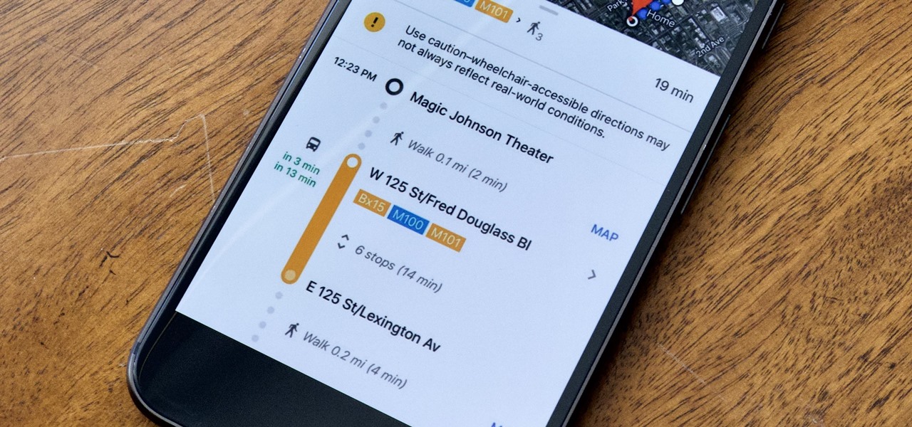
Google is constantly changing and updating its apps to make the lives of its users easier. Google Maps is no exception, as the company now includes options for wheelchair accessible transportation routes. From now on, you can set a trip with accessibility as a priority with Google's popular transit app.

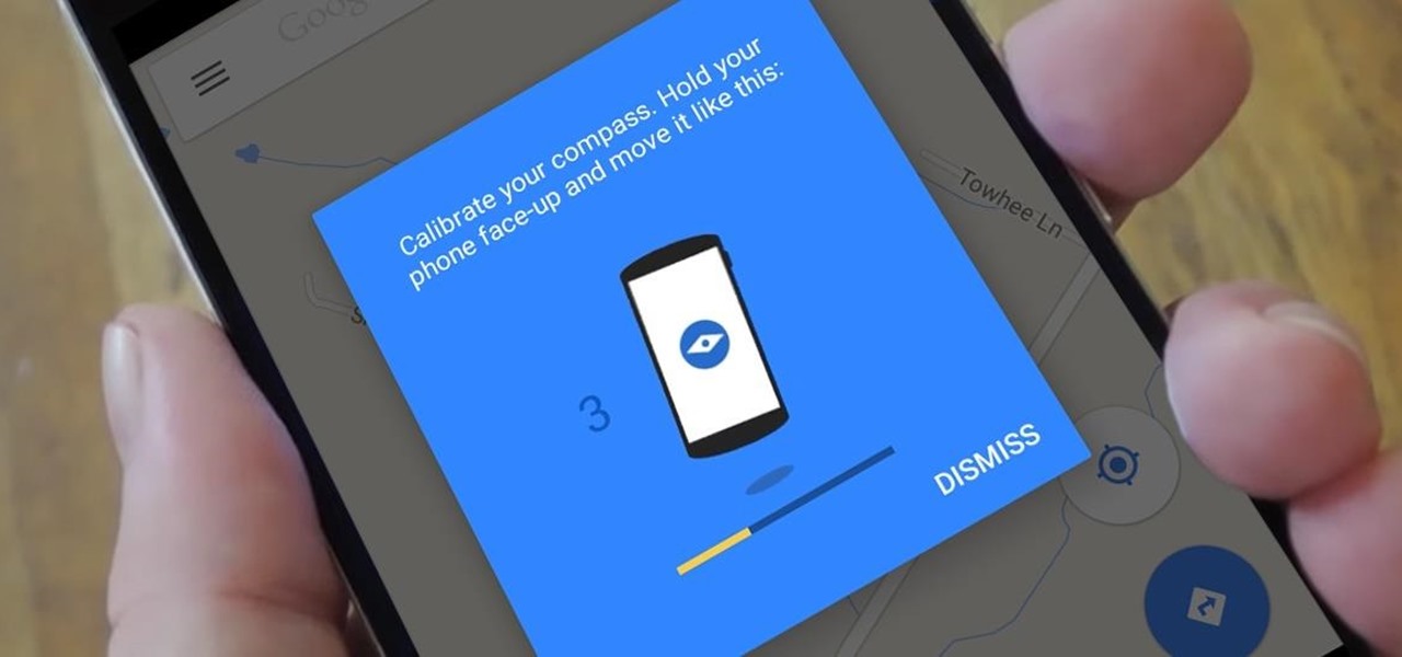
A lot of users with newer Android devices, particularly the Nexus 6P, have been complaining about issues with their device's compass. I've experienced the issue a few times myself—when you open Google Maps and try to get directions somewhere, you're prompted to calibrate your compass before you can proceed.

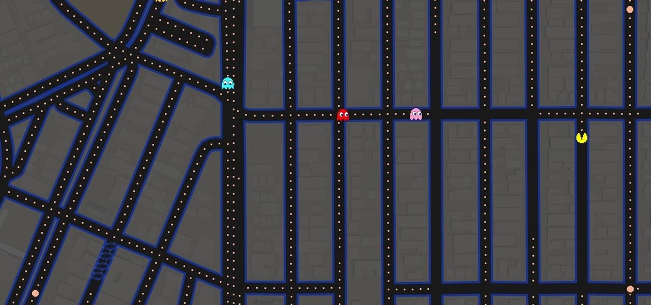
It's that time of year again. Each spring, Google likes to have a bit of fun with April Fool's Day. Pranks have ranged from a fake email printing service called Gmail Paper to a search engine for smells. It's all fun and games, but this year, they've taken that mantra rather seriously with a Pac-Man game baked right into Google Maps.

This week, Google sidestepped their usual "Update Wednesday" strategy by dropping a huge update to their Maps app for both Android and iOS. We're accustomed to seeing new features and bug fixes to their stable of apps on Wednesdays, but today's Maps update was presumably big enough to get its own release day (it's Tuesday, folks).

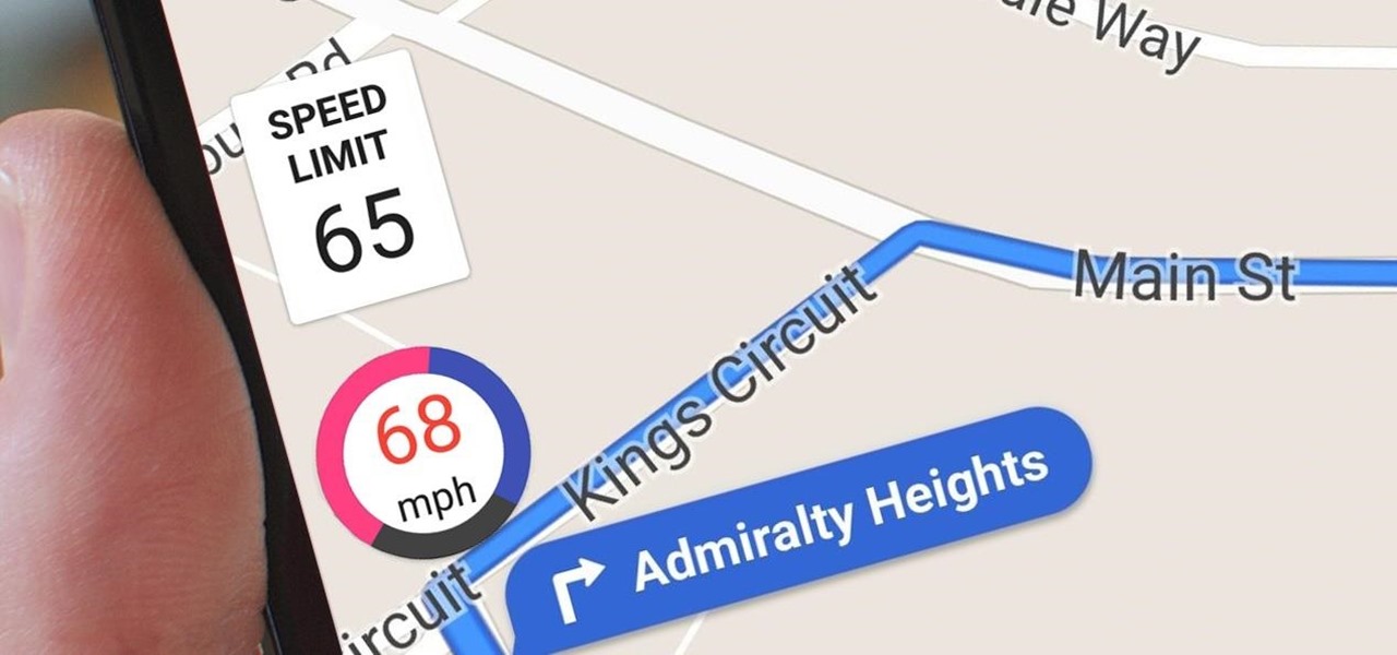
Google Maps does a lot of things well, but one feature it's always been lacking is an on-screen speedometer. Well, now you can add one with Velociraptor, and you can even set it to alert you when you're traveling above the speed limit.

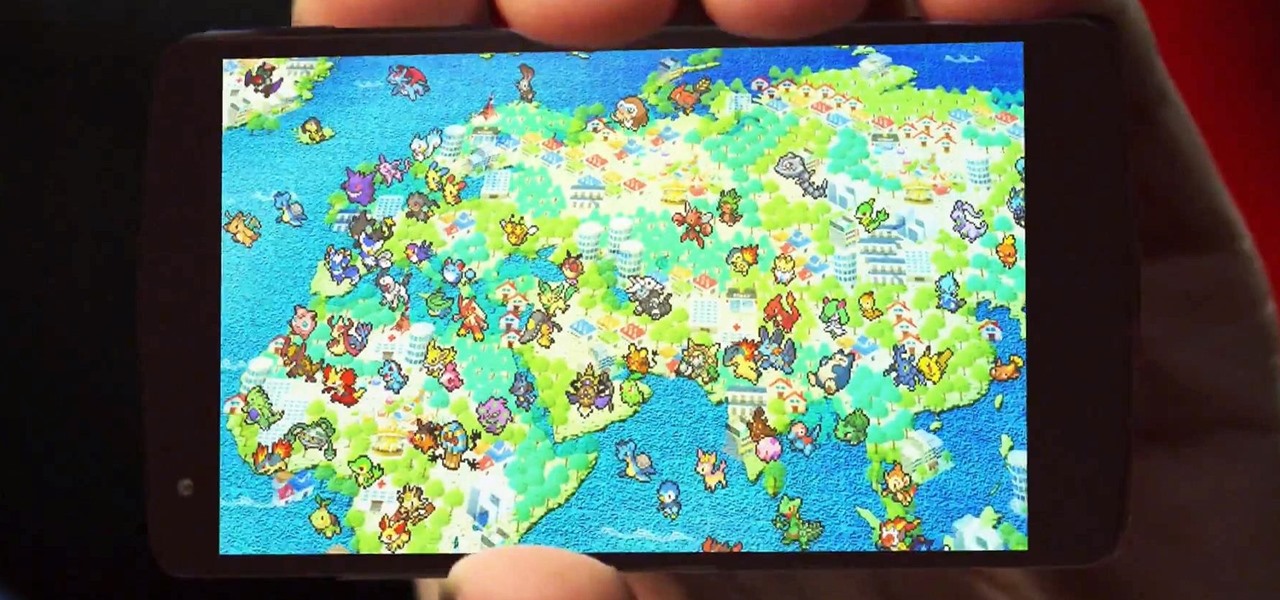
April Fool's has come early, with an update for Google's Maps application for both Android and iOS that's geared towards finding their next big hire: Pokémon Master.

There's nothing worse than driving up to your destination only to discover that there isn't a parking spot in sight — but thankfully, Google Maps will soon have you covered.

We've all been there. You're driving along with Google Maps pointing the way when you get a call from your friend asking you how much longer it'll be until you show up. You try to offer some lame excuse about how something came up last-minute, but you're interrupted, quite rudely, by Maps's voice guidance. The voice butts in again, and again, and again, to the point that you consider having Maps navigate you to the nearest cliff so that you can drive off it.

Utility tool apps provide extremely powerful and useful lightweight replacements for your parents' heavy archaic tools—everything from flashlights to tracking systems and more.

Google Maps beta version 9.49 now allows users to manually save their parking location, and includes weather forecasts in mass transit, according to Android Police. There's also a notification toggle for mass transit station notifications.

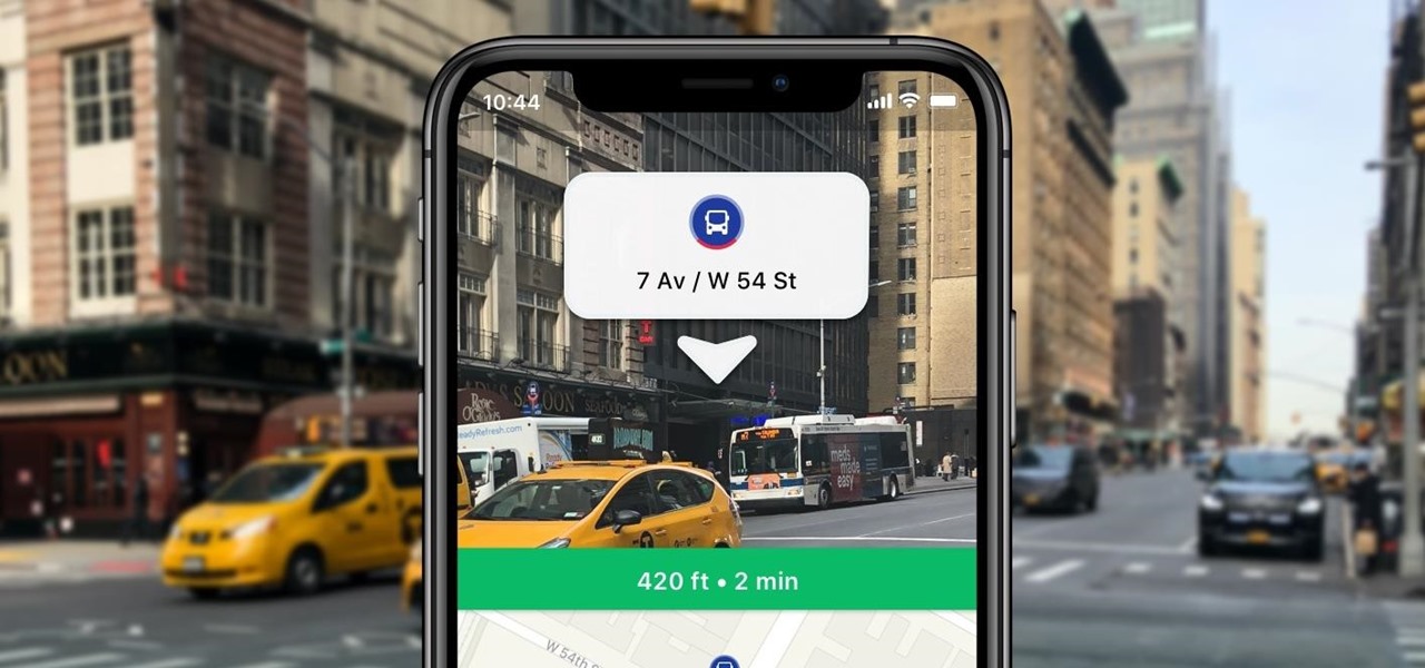
Google Maps Live View is already one of the more useful examples of augmented reality on smartphones that is available to the average consumer today.

Google Maps tracks everywhere you go with your smartphone, even when you're not using the app. Even if it's as mundane as your weekly grocery trip, Google Maps has it saved for you to see in its Android and iOS apps. And while it's mostly used for recommendations and your reference — you may not want Google Maps to keep such a rich location history.


