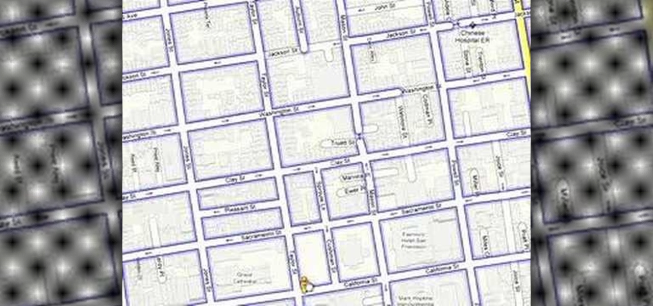
How To: Use street view in Google Maps
Street View is a new feature of Google Maps that allows you to quickly and easily view and navigate high-resolution, 360 degree street level images of various cities in the US.


Street View is a new feature of Google Maps that allows you to quickly and easily view and navigate high-resolution, 360 degree street level images of various cities in the US.
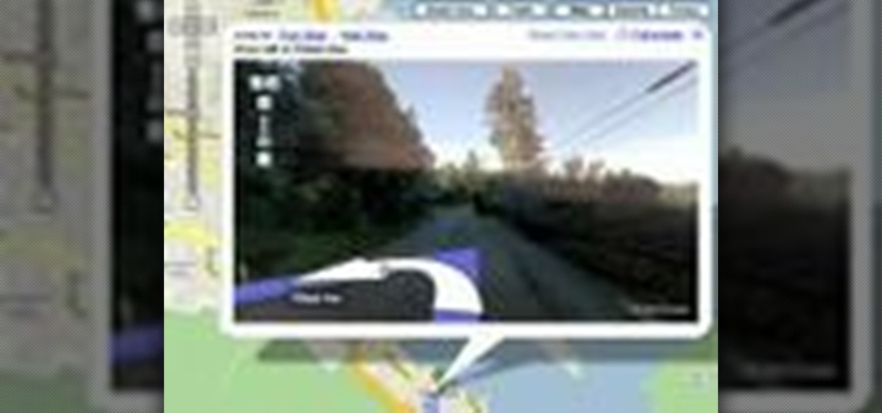
Now you can use street view when getting driving directions on Google Maps. Check out this video to get tips on how to use this feature.

Since bringing augmented reality features to Search and Maps, Google has made them arguably the most useful augmented reality products in its portfolio.
Apple Maps. For years now, its reputation has been that of a punchline. Although Apple and Google battle for supremacy in most hardware and software categories, in the map game there's no question who has the superior app. But the news of the day shows Apple expanding the cities it plans on collecting street data from, opening up speculation that they're not ready to throw in the towel on Apple Maps.

Check out all these confused faces, and read more.
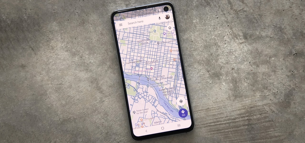
When you're going somewhere for the first time, it's nice to know what the destination will look like. Street View in Google Maps is the perfect tool for that, though it's always been a little awkward to access. But now, Google added a new overlay that will put Street View content literally one tap away at all times.

On a recent trip to Palm Springs, I found myself navigating with Google Maps and virtually exploring my destiniation using its built-in Street View feature. The thing is, using Street View can make keeping track of your exact location difficult as you zoom in, out, and about. It's a little discombobulating.
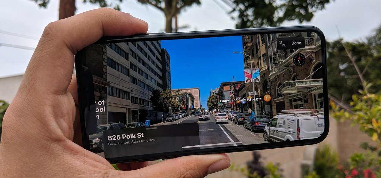
If you like the "Street View" feature in Google Maps, you'll love "Look Around" in iOS 13's Apple Maps. Overall, Look Around has more details than Street View and the animations are super smooth as you navigate down streets and pedestrian areas. While Look Around isn't available in every city yet, it'll work the same way no matter which iPhone you're using.
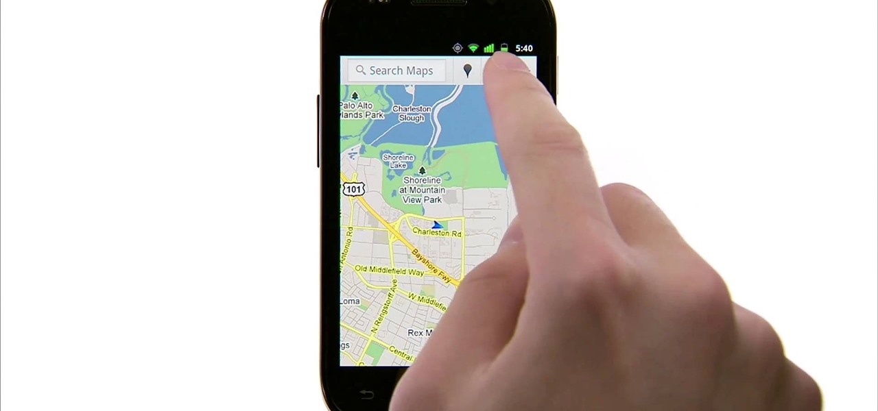
Google Maps is much improved in Android 2.3 (Gingerbread). And even better on the Nexus S. This smartphone can do many things, but the best feature is still Google Maps, which will appear shortly on all Android devices when Gingerbread is officially released.
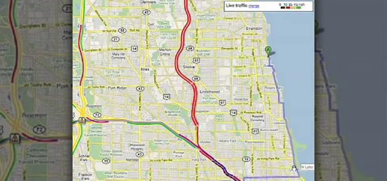
Customize your directions on Google Maps. Drag and drop the default directions to your preferred roads or highways, get walking or public transit directions, route around traffic, or add multiple stops on your way. Print directions with Street View, photos included.
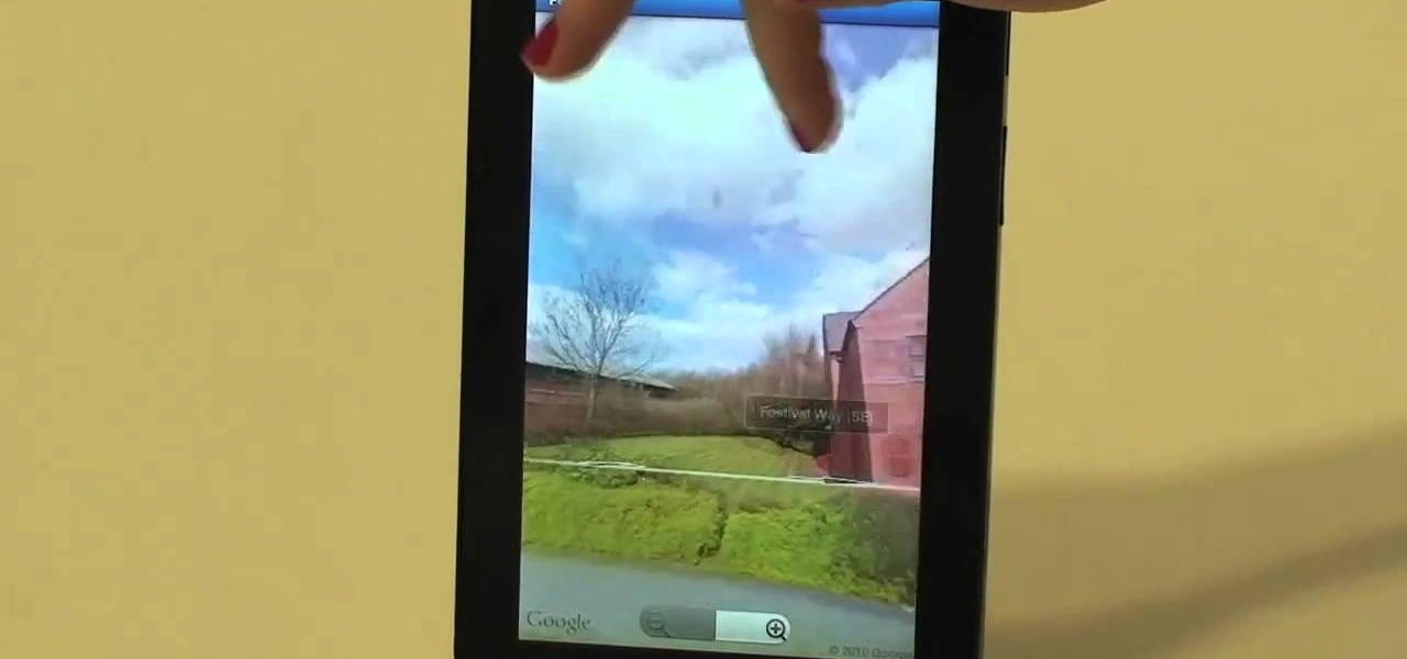
Google Maps never looked better on the Android mobile OS than on the new Samsung Galaxy Tab. Watch this video to see how to use the Maps application, including how to use Google Street View. Also, check out how to use the Places app for finding your way to nearby points of interest.

Right out of the box, iPhone is incredibly easy to use. If you want to get the most out of every feature, you’ve come to the right place. This video tutorial straight from Apple will teach you how to use GPS maps and the compass on the Apple iPhone 3G. The iPhone redefines what a mobile phone can do.

This video tutorial is about using Google Maps and the features in it. Google Maps help us to find the geography and even the traffic situations of a city. Google maps also provide a street view option that helps us to see how a place actually looks like from the ground. Neither of these views are real time. But now, Google Maps has added in a new option, which is the webcam. Just click on the more option in between traffic and map option. In the list that appears, just tick the webcam option...
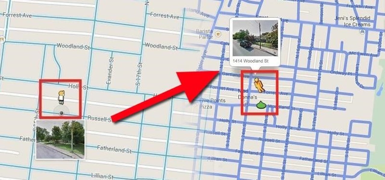
When the Google Maps web app got a massive redesign earlier this year, I was pretty excited to try it out, but it was a fairly disappointing update for me. The slower load times, confusing street view, and bicyclist neglect are just a few of the reasons I don't enjoy it over the old classic Google Maps. The brand new drag-and-drop measuring tool released this week is actually pretty useful, but not enough to change my mind.
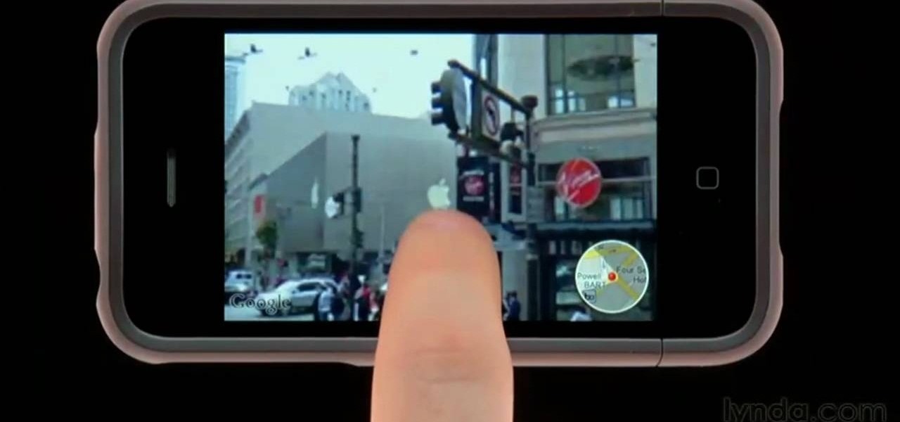
Learn how to use Google's popular Street View map application on an Apple iPhone. Whether you're the proud owner of an Apple iPhone 4G or perhaps just considering picking one up, you're sure to benefit from this free video tutorial. For more information, including a detailed overview, watch this iPhone user's guide.
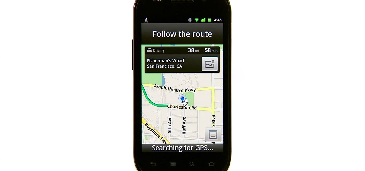
With the Nexus S by Google coming out soon, we're all waiting to see what Android 2.3 (Gingerbread) can do. One of the improved features in this Android update is Google Maps.

With Google Maps, we can fly from Los Angeles to Tokyo to Paris and New York—all in a matter of seconds. We can zoom in with relative ease and flock around the city of our choice, checking out restaurants, historical landmarks, traffic and scuba divers. Easily the most recognizable and iconic part of Google Maps are the markers that signify all of these locations and point of interests. The iconic markers have already spurred artists to create Google Map inspired art pieces—with one such arti...

Before you get started exploring a big new city or even just getting reacquainted with the one you live in now, make sure you aren’t putting yourself in any unnecessary danger. Memorize good traveler habits that will keep thieves and scam artist off your back.
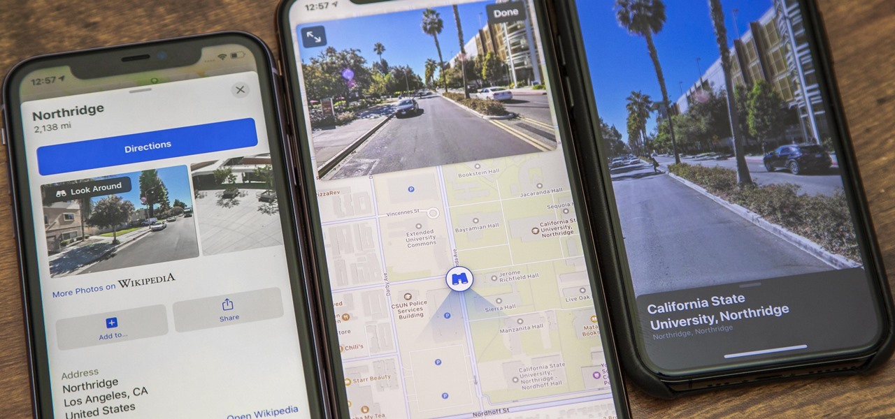
Look Around in Apple Maps gives you a high-resolution 3D view of roads, buildings, and other imagery in an interactive 360-degree layout. We haven't had anything like this in Apple Maps since iOS 5 when Google's Street View was incorporated. Now, in iOS 13, seven years later, we have street-level views again, only better. But Look Around isn't available everywhere yet.

The augmented reality walking navigation mode for Google Maps appears to be closer to an upcoming release for the general public.
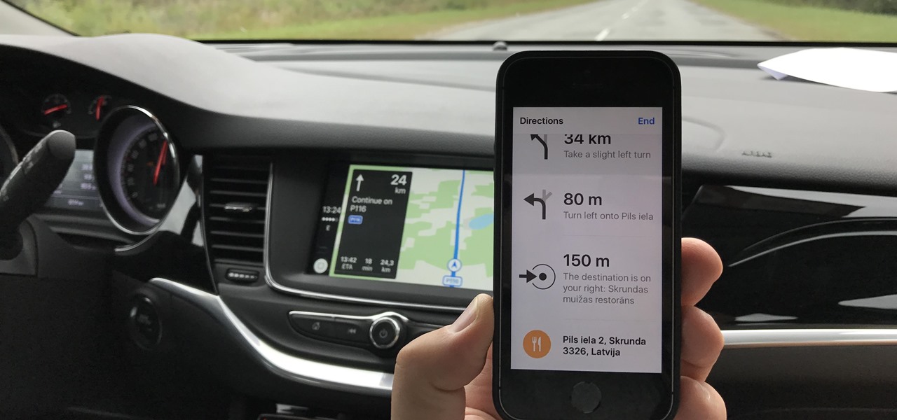
According to the French Blog iGeneration, Apple Maps is hoping to get itself back on the map. How? By taking a page out of Google Maps' book and hiring freelancers from TryRating to manually check the accuracy of their locations.
Alongside its official unveiling of the lower-cost Pixel 3a smartphone at Google I/O, Google took the opportunity to extend its early preview of AR walking navigation in Google Maps to all Pixel devices.
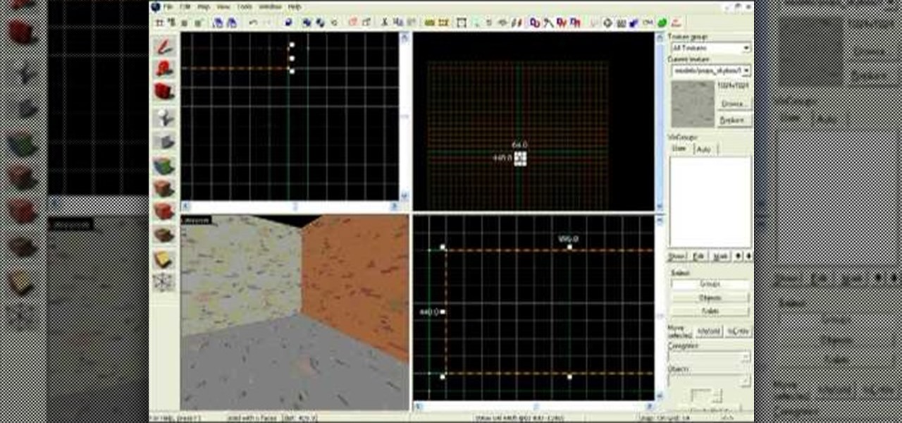
This tutorial is a step by step guide on how to make maps for Team Fortress 2 (part of the Half Life 2: Orange Box) using Steam's Hammer program. Topics covered include:

The Chinese government's tight restrictions on gathering data by foreign firms for 3D mapping, the lifeblood of machine-taught driverless systems, could at least slow down access to the market by Waymo, Tesla, General Motors (GM), Ford, and other players hoping to make inroads there.
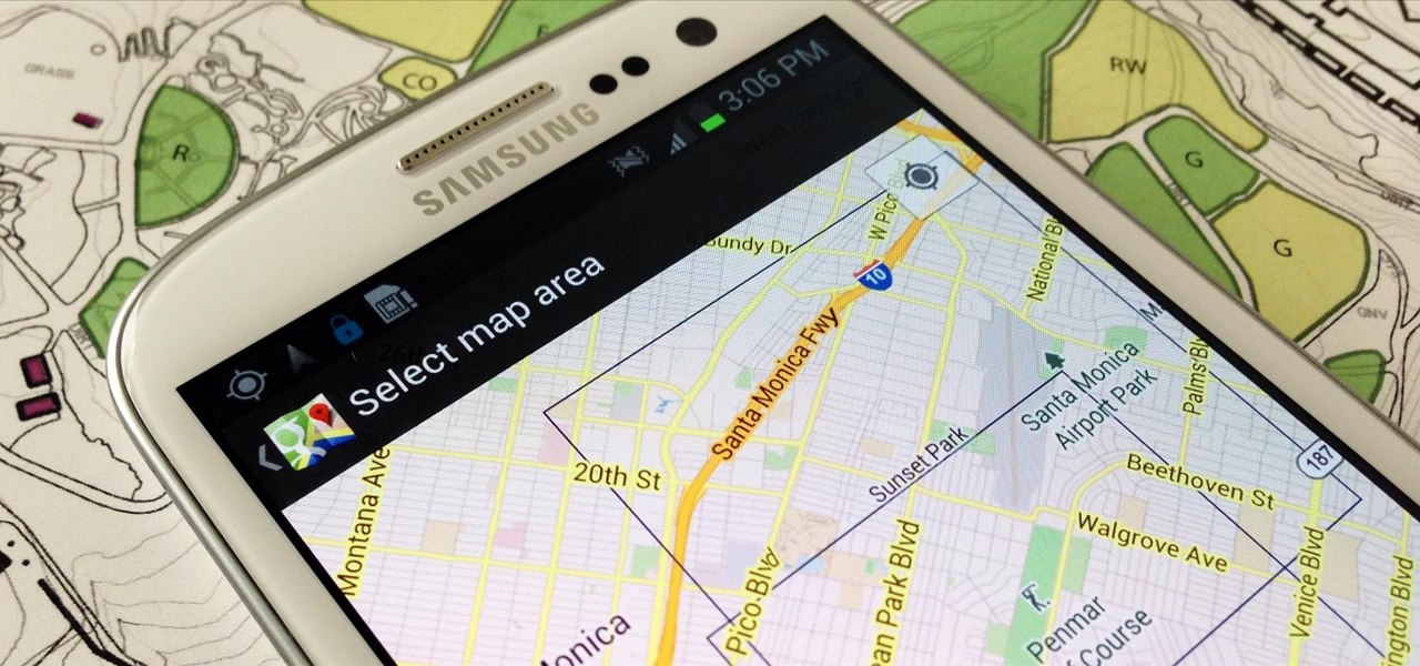
When you have to take four different freeways to go twelve miles, Google Maps becomes a very close and dear friend—especially in Los Angeles. Without my trusty Samsung Galaxy S3, I seriously don't know if I could make it back home half of the time. Of course, you'd probably get better directions using a Garmin, TomTom, or other GPS device, but when you already have a smartphone like the GS3, dedicated GPS units become nothing more than a luxury item.
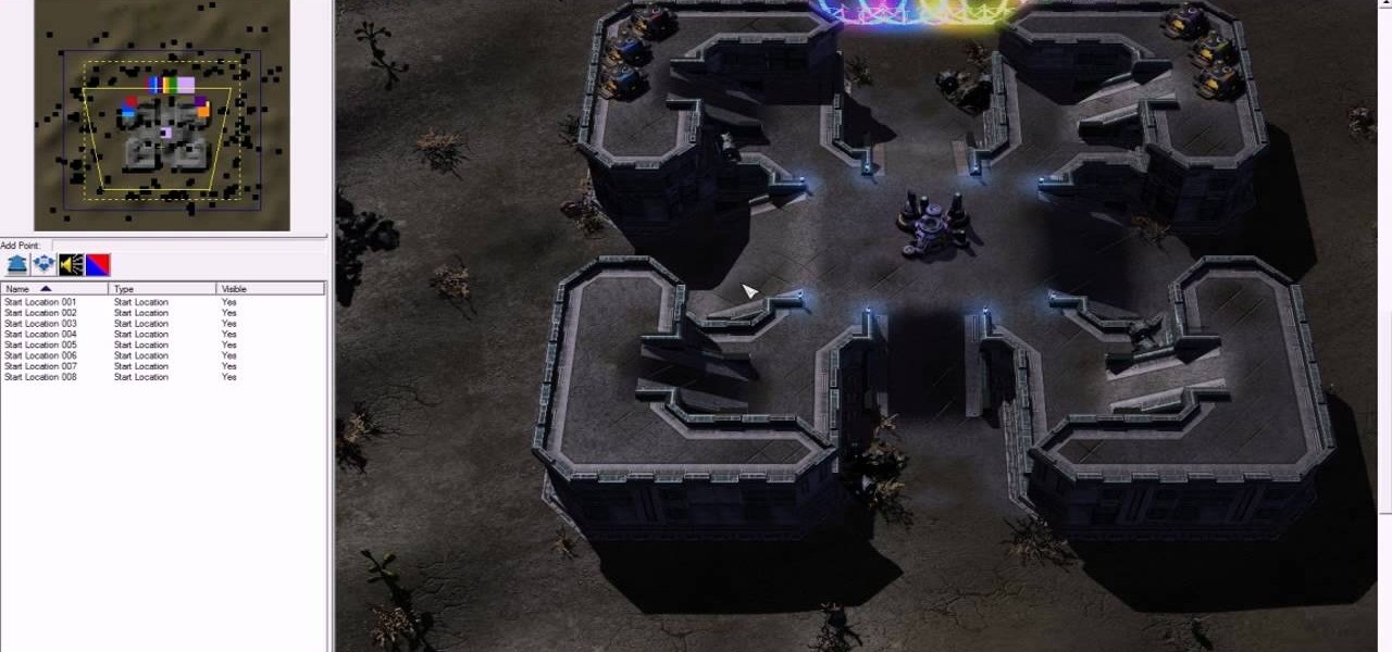
Starcraft 2, like it's predecessor before it, has a very robust level editor that allows you, the DIY modder, to create nearly any scenario within the bounds of the Starcraft 2 engine that you could imagine. We have compiled videos on how to do all sorts of fun things with it, from making RPG's and Tower Defense games to just making you dream Starcraft 2 level. This video will teach you how to make a Starship Troopers (film, not book) style map where a group of Terrans have to defend a remote...
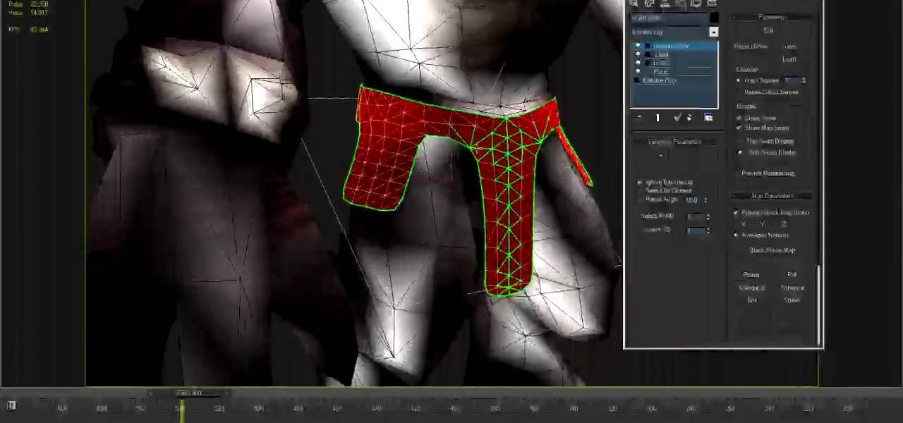
Pelt mapping is the technique in 3D Studio MAX by which you can remove the "skin" from an image and stretch it out flat to work with it, like the pelt of a fox except that you can put it back on! This video will teach you how to use pelt mapping yourself in three parts.
Yes, you read that right—you can now get Google Maps back on your iPhone again. It may not be officially replacing Apple's notorious Maps app, but it sure is a sight for sore eyes.
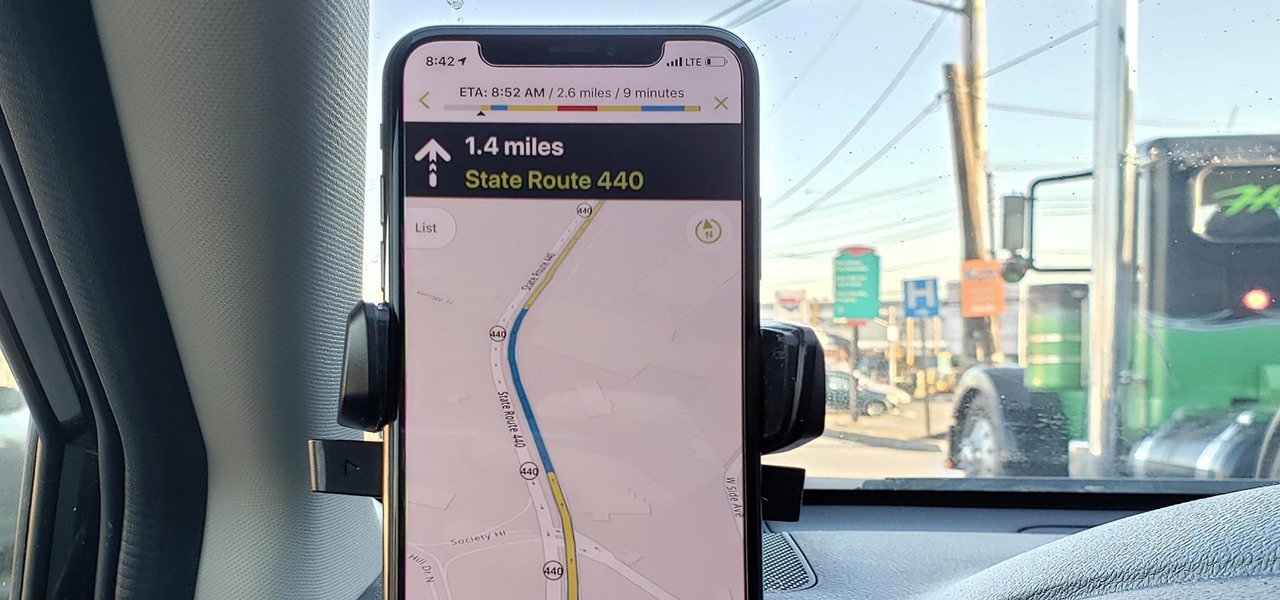
You don't have to be a frequent flyer to know how indispensable navigation apps have become. Many of us rely on these apps for traveling from state to state and getting around in foreign cities, but even more of us count on these apps to beat rush hour traffic and find the quickest routes to school or work. So naturally, we all have our favorite mapping apps, but which one is truly the best?
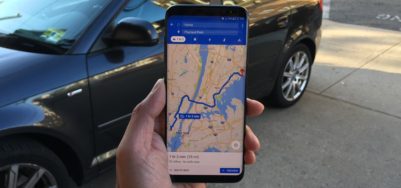
Spotty cellular reception is a fact of life that we all have to deal with, especially when you're traveling. For those of us who rely on our smartphones for navigation, driving through areas with bad mobile data service can be a cause for major headaches.

There aren't a lot of games with 3D maps where you can't break out of the levels in some way, and Black Ops is not different. This video will teach you a barrier breaker that you can use to get out of every multiplayer map in the game. Only use this in private matches unless you want it to go away!

Call of Duty: Black Ops Zombies takes the Nazi Zombie multiplayer mode from World at War to a whole new level! The one map in Zombie mode based off the original game is called "Kino Der Toten" and features the characters from World at War. It's a tough game, and if you need help gutting some zombies in the "Cinema of the Dead"— this two-part video will give you the best solo strategy for this highly difficult map in Black Ops Zombies.

Call of Duty: Black Ops has established Treyarch as the kings of Call of Duty once again. If you're having some trouble with learning the game's many awesome maps, watch this video for a full walkthrough of the Hanoi map.
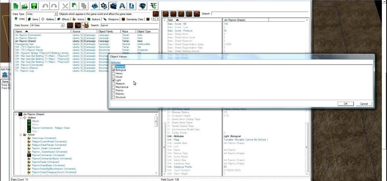
Starcraft 2, like it's predecessor before it, has a very robust level editor that allows you, the DIY modder, to create nearly any scenario within the bounds of the Starcraft 2 engine that you could imagine. We have compiled videos on how to do all sorts of fun things with it, from making RPG's and Tower Defense games to just making you dream Starcraft 2 level. This video will teach you how to create a condition in a custom map where waves of zerglings will attack the heroes continuously. If ...
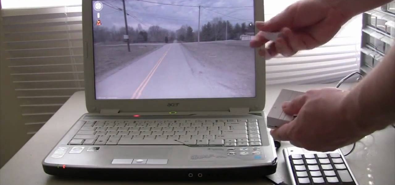
Tinkernut demonstrates how to hook up your exercise bike to Google Maps. Using a stationary bike can be good for your health but it can also be boring. You can spice up your exercise regiment by using Google Maps. You will need a USB keypad with arrow keys, a magnetic contact alarm with wires, soldering equipment, an exercise bike and a laptop computer. Connect the contact alarm to the up arrow key on the keypad by opening up the keypad and connecting the wires to the up arrow key by solderin...
Now you can make sure your home address is in the right location on Google Maps. If it's not, you can move it to the correct spot. Try it at maps.google.com!!

If you've completed chapter 3 of Disgaea 4: A Promise Unforgotten, you can access the map maker and start to create your own maps for multiplayer. This guide teaches you how to use the map maker in Disgaea 4 to create unique maps for use against your online opponents!

Mapping the camera properly in 3DS Max is, like doing most things in 3DS Max, a bit of a challenge but very rewarding when you get it right. This six-part video will teach you how to use Photoshop and 3DS Max together to create a simple animation of a title and some punching bags with proper camera mapping, using Photoshop to prepare an image for manipulation and 3DS Max to do the manipulating.
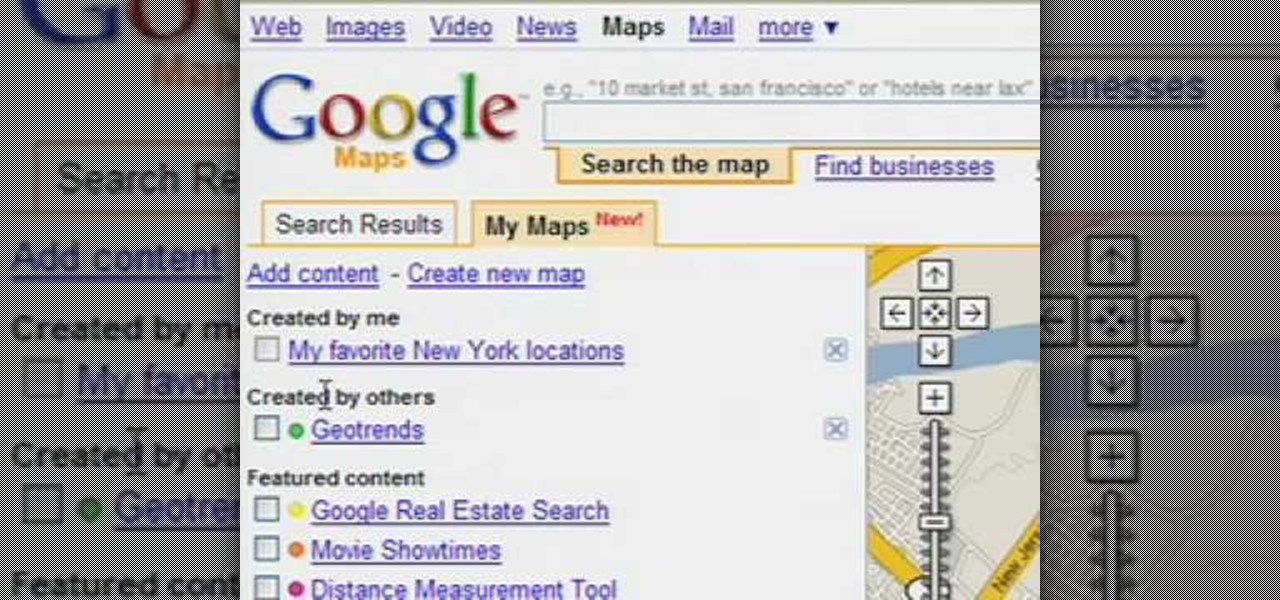
Customize your directions on Google Maps. Drag and drop the default directions to your preferred roads or highways, get walking or public transit directions, route around traffic, or add multiple stops on your way.
Have you ever found yourself lost in the Appalachian Mountains, or stranded in the Mojave Desert? Maybe it was because you couldn't read a map… a real map… a real hands-on, folding paper map. Reading a map is an important skill that may be lost in the internet and GPS era, but it' s a skill that everyone should have.